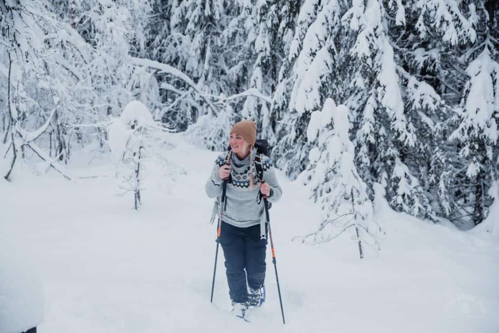
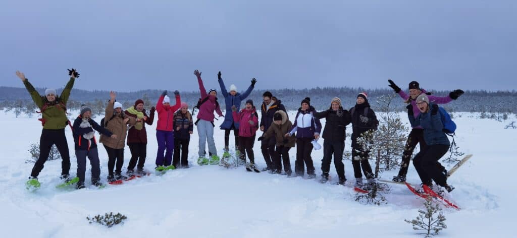
Come and enjoy a canoe trip on the Keila river with a friend or family. It’s a nice relaxation from a tiring work week and, of course, an opportunity to do something interesting with your loved ones. 8 two and 2 three canoes available.
If you wish, you can order a private canoe trip at a time that suits you.
Tallinn-Pärnu mnt Keila jõe silla juures at 11:30
Metsanurme fire place II
Keila River is the longest river in the Gulf of Finland basin, flows in the territory of Rapla and Harju County. The river begins 5 km southeast of Kuimetsa village and flows into the Gulf of Finland. The most important tributaries are Atla and Maidla.
The length of the Keila river is 111.8 km, with additional branches 127.3 km. The Keila river ranks fifth among the longest rivers in Estonia.
The beginning of the Keila River is in Kõrve County, in its main part it flows in the territory of the North Estonian Lava Country. The river is located on the western edge of the Viirika swamp. In the beginning, the river bed makes a big curve to the south and collects a lot of water from the big springs around Kaiu above the village of Karitsa. Further, the river bends to the northwest and continues to flow in this general direction, mostly in a natural bed, up to the mouth. The river flows into Lohusalu Bay in the park of Keila-Joa township.
Keila River passes through relatively densely populated areas and there are many settlements on the banks of the river. The town of Kohila, the town of Kurtna and Kiisa are located in the middle course. In the lower reaches are the town of Keila, the village of Karjaküla and the village of Keila-Joa.
In the Keila-Joa park, 1.7 km from the mouth, there is a 6.1 meter high Keila waterfall on the river.[2]
The Keila waterfall is practically insurmountable for migratory fish coming from the sea and affects the composition of the Keila river fish stock.