
 1 / 4
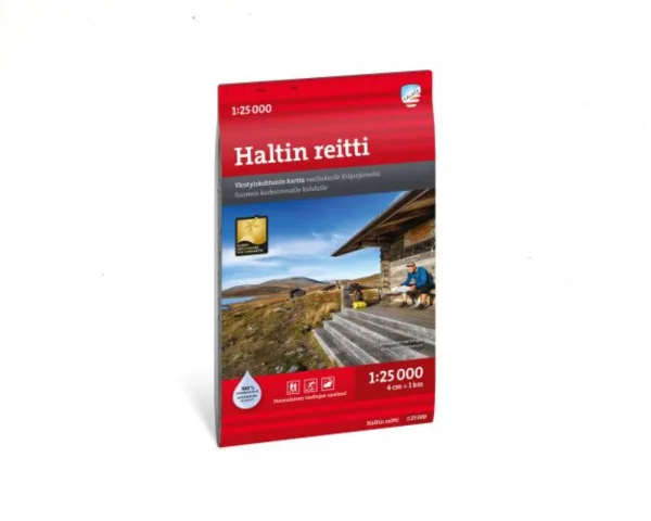
Hetta–Pallas-Reitti 1:30 000 hiking map
Calazo hiking and mountain map for the Hetta-Pallas trail, scale 1:30 000, updated 2026, printed on waterproof Tyvek®.
19,90 €
In stock
1 in stock (can be backordered)
Prices include VAT
Pallas-Yllästunturi National Park hiking trail, a detailed hiking and mountain map
The map for hiking the most popular trail in Pallas-Yllästunturi National Park.
A hiking classic: the five-penikoorma Hetta-Pallas trail runs along the beautiful Pallas fell chain and through impressive gorges. The route was built as early as 1934 and is today one of the best-known and best-loved hiking trails in Finland.
On open tundra the trail is marked with direction arrows, and along it there are six free-to-use wilderness huts (autiotupa) and three reservable hiking cabins. Thanks to good marking and infrastructure, the trail also suits a first tundra hike.
The laser scanning (LiDAR) data used for the map and the scale of 1:30 000 let you see the terrain in more detail than before.
Tyvek®, durable in all weather
The map is printed on Tyvek®, which is:
- fully waterproof
- tear-resistant
- durable through repeated folding
- suitable for use in rain, snow and damp
Thanks to Tyvek®, the map does not need a separate protective cover.
Features
- The most popular hiking trail in Pallas-Yllästunturi National Park
- Scale: 1:30 000
- Updated: 2026
- Detailed terrain information based on LiDAR technology
- Marked hiking trails, huts and important points
- Waterproof and tear-resistant Tyvek® material
- Suits both beginners and experienced hikers
- A companion for hiking in the Finnish tundra and national parks
- Category: hiking trail maps