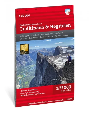

 1 / 5
Høyfjellskart Hornindal 1:25 000 hiking map
Calazo topographic mountain hiking map of Hornindal, scale 1:25 000, printed on waterproof Tyvek®.
23,90 €
On orderDelivery in 5–30 days
Available on back-order
Prices include VAT
- Series: Calazo Høyfjellskart
- Area: Hornindal
- Data: LIDAR
Calazo Høyfjellskart is a series of topographic maps made for mountain hiking and ski touring in the most popular areas of Norway.
The maps are based on high-resolution LIDAR data, which gives detailed and accurate terrain information and suits navigation in demanding alpine conditions. Trail information has been updated using aerial photographs and local knowledge.
All maps are printed on Tyvek®, which is fully waterproof and highly tear-resistant and suitable for use in all weather all year round.
- Brand: Calazo
- Scale: 1:25 000
- Material: Tyvek®, waterproof and tear-resistant